A Cycle Tour To North Wales, summer 1944

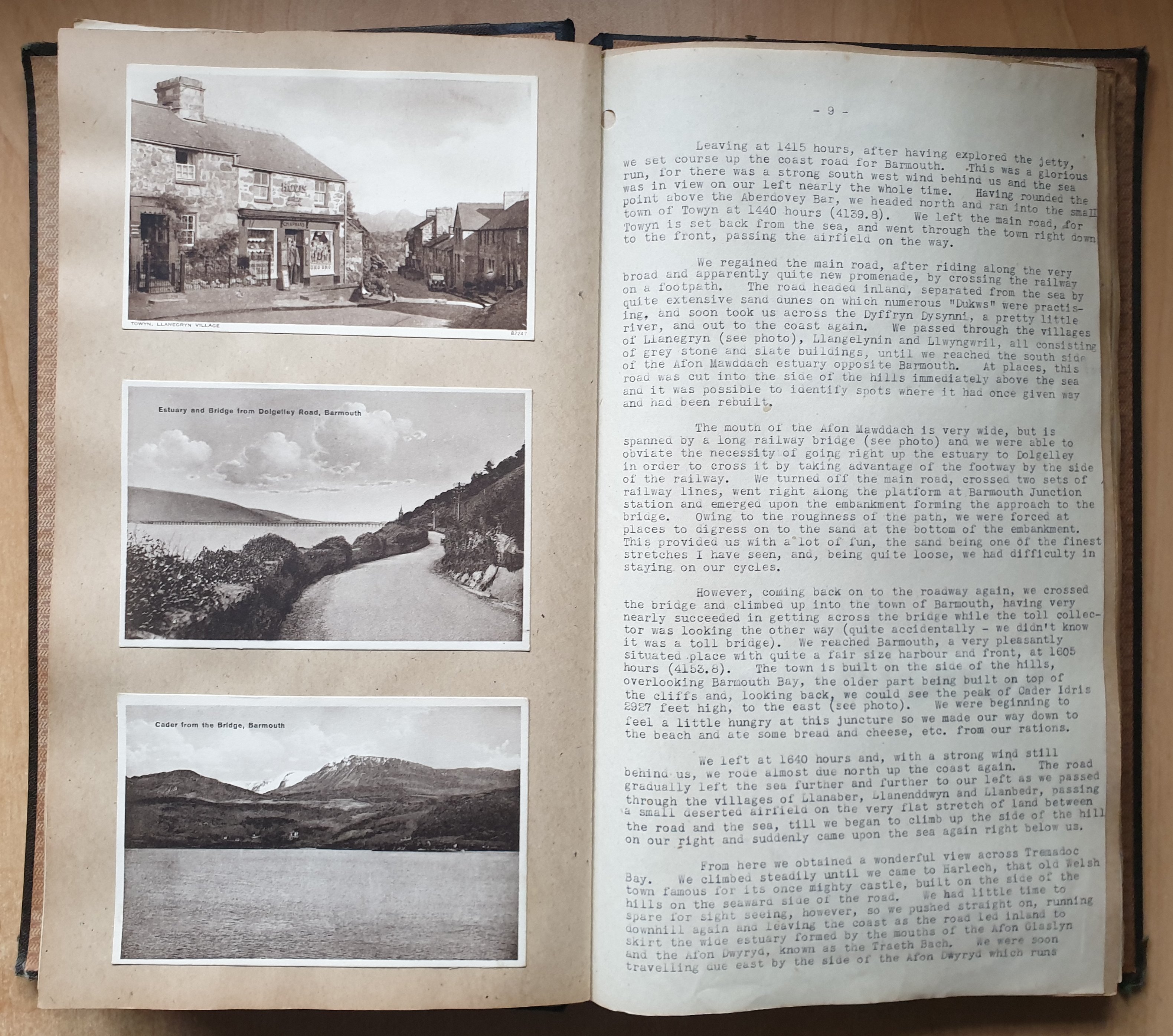
In the summer of 1944 (12-27 August) Roy Spurgeon & Leslie Lee made a 750 mile cycle tour to North Wales. Roy kept notes during their journey, and on return put together a log book containing nearly 30 pages of typed foolscap text, 66 postcards collected at various stops along the way, and a map (route in black pen). Roy's log contains details of their route, the many towns & cities visited, several amusing incidents en-route, encounters with a variety of military activities, and descriptions of each youth hostel: always at the top of a hill! It's not clear if there were one or two copies - the only known version was found in 2023 among Leslie's belongings by Maggie Lee. This copy has been been scanned, transcribed, and is available in several versions:
-
Day-by-day journal (easy-to-read daily account including postcards)
-
Complete (30 double pages, scanned postcards & text)
-
Original text (28 scanned pages, no postcards)
-
Postcards (66 scanned postcards, no text)
Some of the pre-war postcards may be of historical interest:

")
")


")
")
")
")


")
")


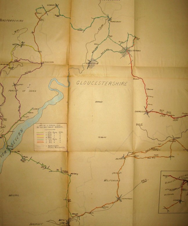
At the back of the log book is part of a large (86x63cm) map of England & Wales by Bartholomew, tenth inch (0.1"/mile), date unknown (presumably pre-war). The map is very detailed, showing counties, towns, roads, railways, & shipping routes (but no legend). Too large to scan as a single sheet: instead 15 overlapping scans were made and stiched together (using Hugin, an Open Source panorama stitcher). The map is also available for download in high resolution (large, 24M).